Here we go again… again.
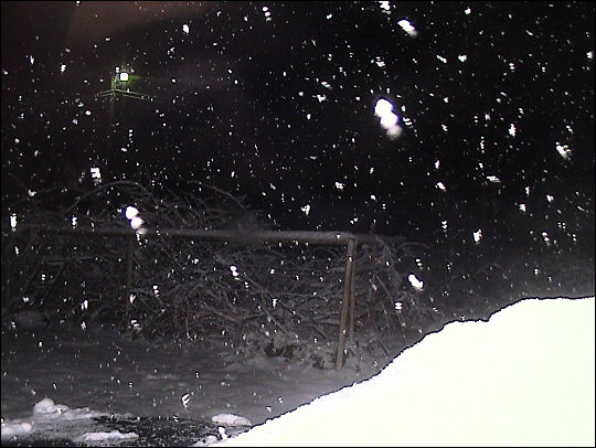
Here’s why this event is uniquely irritating. The National Weather Servie had been selling this winter storm as a Monday afternoon event. TV weather guys assured us we’d probably just have rain until around 6pm Monday.
Then buckets of this stuff started coming down at around 11:30 on Sunday night.
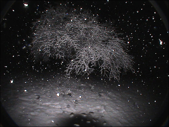
Within an hour, Fort Smith had accumulated at least half an inch of snow. I cleared the hood and windshield of my car to an acceptable level for driving home. The drive turned out to be a doozie: an hour as opposed to 25-ish minutes, and even then I was only able to find my way by keeping one whole side of the car on top of the interstate rumble strips – a narrow row of car-rattling indentations along the side of the row designed to wake up anyone going off the road. If the interstate wasn’t ribber for drivers’ pleasure like that, I’m pretty sure I would’ve gone off the road somewhere. The snow was blasting in out of the east, and caked itself on the car even as I was driving home.
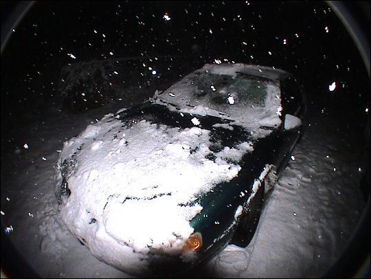
All of a sudden we’ve gone from a 60% chance of 1-6 inches of Monday night snow to a 100% over the next 24 hours, with a potential foot of snow.
To put these photos in perspective, again: all of the snow from my previous blog post has melted. This accumulated since shortly before midnight.
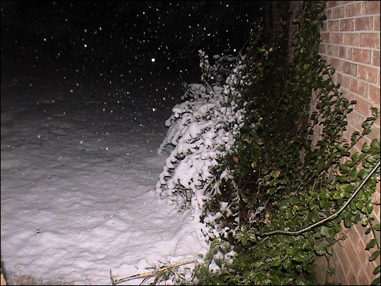
Yeesh. Maybe nothing compared to what DC and Pennsylvania and New Jersey have gotten in the past several days, but it’s the “surprise, this storm is starting 24 hours ahead of schedule!” business that makes this especially irritating.


+ There are no comments
Add yours